Starting a business during a worldwide pandemic isn’t the easiest path to take – but it was mine. Like many people in 2020, I found myself without a job. At that point, I’d spent many years in the IT and mapping space, honing my GIS software expertise. I knew that independent of what was happening in the world, GIS is critical in shaping our world. That knowledge, along with hard work and entrepreneurial spirit, led to the formation of Max Powers Mapping (MPM).
Max Powers Mapping represents the culmination of 30 years in the GIS space. We bring all of our experience to bear on your project. We function as an extension of your team and will work with you to execute your project, happy to tackle whatever you’re building regardless of size or complexity.
In the past, we’ve provided hydrologic and flooding analysis, created web maps for the public sector, advised on emergency response planning, analyzed crash data to help with transportation strategies, and more. Our clients have included TxDOT, oil & gas companies, environmental and civil engineering firms, RMAs, cities, counties, precincts, and everything in between.
We believe that GIS is critical to achieving your mission. There is no margin for error when coordinating emergency relief efforts or calculating an environmental impact. Our work reflects our beliefs!

A geographic information system (GIS) can streamline all of your project's needs. You are able to present your geographical data, from capturing and storing to analyzing and manipulating the data, in a way that provides understanding and access to all involved.
Maps
We can interpolate and map your spatial region of real-world characteristics and portray the spatial bonds amongst them. Once created, the maps provide a geographic location from which to work with various data and analytics. GIS maps are seamlessly shared and entrenched in apps, and become available to practically everyone, everywhere.
Analysis
The true potential of GIS lies in leveraging data to analyze both attribute and geographic information. By employing spatial analysis techniques, you can assess suitability and capacity, make estimations and predictions, interpret and comprehend, and gain valuable insights that enhance your decision-making process. This comprehensive approach empowers you to make informed choices.
Apps
Applications offer tailored user experiences that enable efficient completion of tasks and bring Geographic Information Systems (GIS) to life for individuals across various domains. GIS apps are designed to function seamlessly across multiple platforms, including mobile phones, tablets, web browsers, and desktop computers.
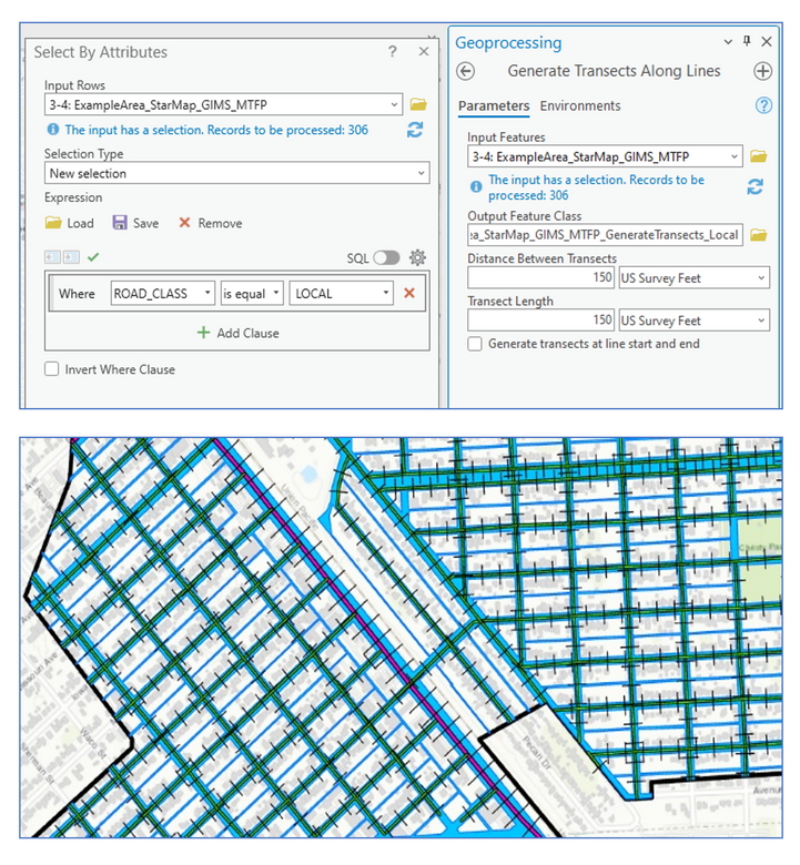
- GIS consulting, Setup & Training

transportation, environmental planning & General GIS support
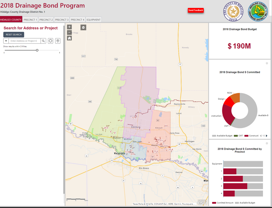
dashboard and mobile apps
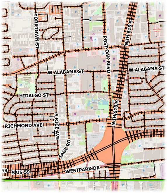
data analysis and visualizations

Our Quick Launch Solutions will swiftly propel your company's proficiency in GIS, ensuring rapid adaptation and mastery.


Get Online - Set Up Your Online Portal and Users
- Put your data online on an web map or dashboard for internal or external access. Effortlessly generate maps and instantly distribute them to individuals worldwide.
- Utilize user-friendly analysis tools to gain deeper insights into your data.
Data Collection & Management Solutions
- Let us develop an app for field collection and delivery your data in any format that you need.
- Let us help organize your data
- Create project templates & stream line workflows
Immediate Hourly Support
Sometimes you need additional hands on deck to meet a tight deadline or solve a problem on the fly. Let our team be an extension of your team and use our GIS expertise to finalize whatever it is you need.
Book a Training
Encountering difficulties? Uncertain about where to begin? You can receive personalized assistance, either online or in office, tailored to address any challenges your organization may be confronting.
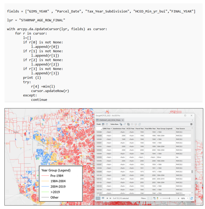
Harris County Road age & row width analysis
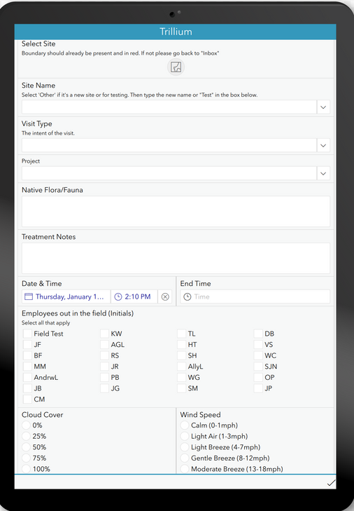
Trillium invasive species
SURVEY app & dasHBOARD

Hidlago county Road Inventory & asset manaGEMENT
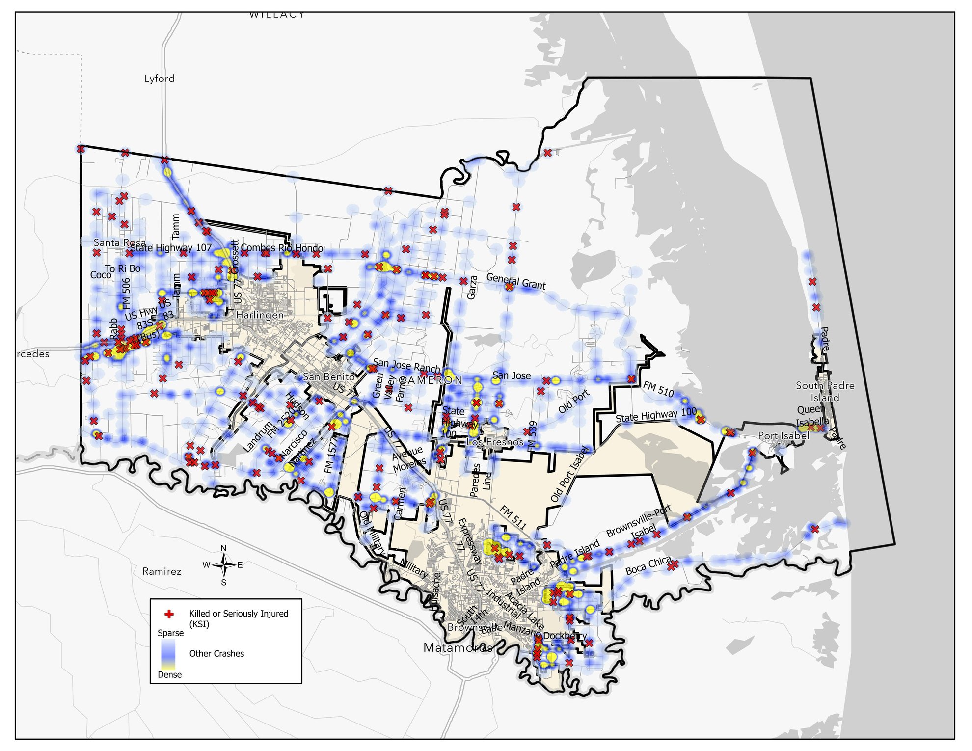
CCRma
Crash Data Analysis & Dashboard
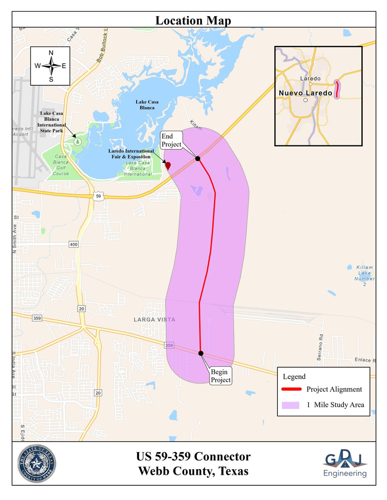
Webb County
GIS support &
Hydrologic Anaylsis
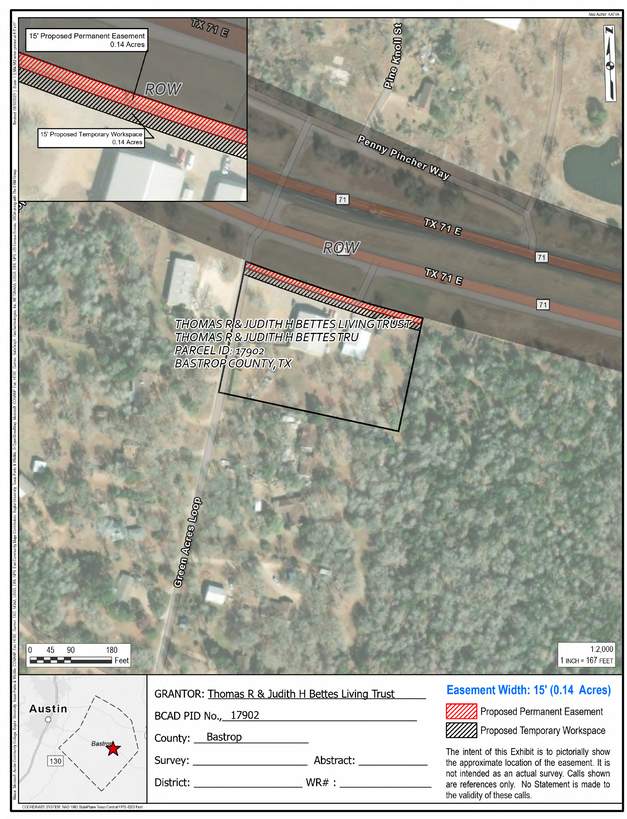
Petroleum
land plats


No Project too big or too small...
we are here to help!
Located in Austin Texas but we work worldwide...
